The West Highland Way
Fort William is the picturesque end point of the iconic West Highland Way, a long-distance hiking trail in Scotland.
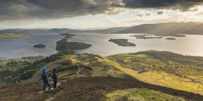
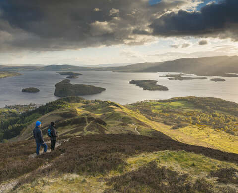
The West Highland Way stretches 96 miles (154 Km) from Milngavie to Fort William, taking in a huge variety of scenery along the way, from countryside parks to loch-shores and open moorlands to steep mountains.
Normally the route is completed from south to north, the thinking behind this being the southern stages are easier and will prepare you for the more demanding northern stages.
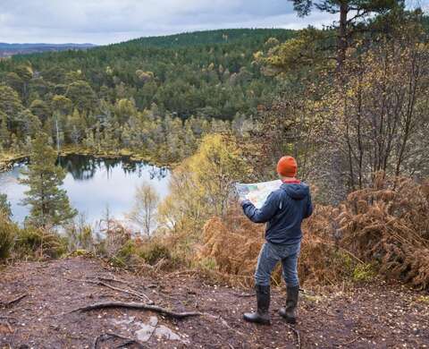
Due to the variety of distances involved, these sections should not necessarily be considered as a day’s activity. Planning of stage lengths should be based upon ability and fitness and the opportunities available to explore places of interest along the route. See the itineraries section for ideas on how to split up the route.
Fort William is a vibrant town that caters to the needs of weary hikers completing the West Highland Way. With its stunning natural surroundings and a range of amenities, it provides a delightful place to unwind and celebrate the accomplishment of reaching the trail's end.
Useful information
Accessibility info
The West Highland Way offers a range of terrain and can be physically demanding. It's essential to be well-prepared and have a good level of fitness. Certain sections may be challenging for those with mobility issues.
Food and drink
There are several coffee shops and restaurants located within walking distance of Gordon Square.
Dogs
Dogs are allowed but should be kept on a lead and under control at all times.