
Forth & Clyde Canal Skipper's Guide
Explore the Forth & Clyde Canal, discover Scotland’s industrial heartland and vibrant green corridors via the Falkirk Wheel and the Kelpies.
Maps and facilities on the Forth and Clyde Canal
In this section you can find information about locks and bridges you should plan for when going through Forth and Clyde Canal. Maps contain information about the how to navigate through Forth and Clyde Canal. You can also see facilities available for you. If you would like to see what attraction and activities are available in this locations please refer to Things to do page.
1. Bowling Basin to Lock 27
Bridges and locks:
- Bowling Bascule Bridge – Lock 38
- Ferrydyke Bascule Bridge
- Ferry Road Bridge – Lock 37
- Farm Road Bascule Bridge
- Dalmuir Drop Lock
- Sylvania Way Footbridges (2)
- Linnvale Bascule Bridge
- Boghouse Locks 33-36 Footbridges
- Bard Avenue Bridge
- Lock 32
- Cloberhill Locks 28-32
- Netherton Swingbridge
- Temple Locks 26-27
Attractions:

2. Lock 27 to Auchinstarry Basin
Navigation:
Please take extra care at Southbank Marina and when passing Auchinstarry Marina, as there is a DEAD SLOW.
Bridges and locks:
- Temple Locks 26-27
- Maryhill Locks 21-25
- Hillhead Bridge
- Twechar Bridge
Attractions:

3. Auchinstarry Basin to Lock 16
Navigation:
Please take extra care when passing Auchinstarry Marina and The Falkirk Wheel, as there is a DEAD SLOW. Also exercise caution when crossing Red Burn aqueduct as there is a DEAD SLOW and possible underwater obstructions.
Bridges and locks:
- Wynford Lock 20
- Castlecary Locks 18-19
- Underwood Lock 17 & Footbridge
- Bonnybridge Lifting Bridge
- Footbridge (closed from 8pm to 6am, call 01324 676912 for access)
- Lock 16
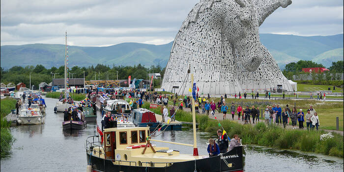
Attractions:
If you’re planning to continue your journey towards Edinburgh, you can find maps for the Union Canal and information about the Falkirk wheel here:

4. Lock 16 to Carron Sea Lock
Navigation:
For detailed information on how to navigate through Carron Sealocks and Carron Approach, go here:
Grangemouth and the river Carron
Bridges and locks:
- Locks 16-3
- Sealock 2
- Sealock 1
Attractions:
